 Edinburgh, Scotland, UK
 +44 (0) 7756768092
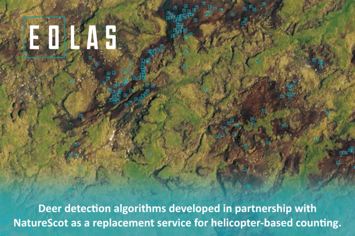


Forestry & Timber News - Article by Sarah Robin Daniels
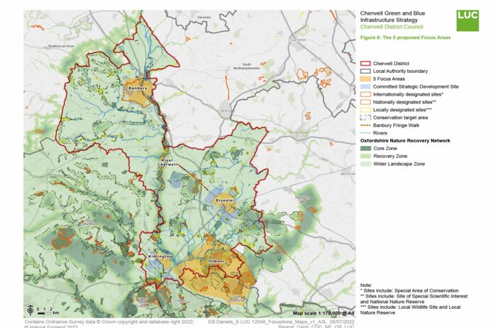
Reflecting on the communication power of well designed maps.
I give context to spatial data through digital storytelling by combining GIS consulting and unique map design.
I use Geographic Information Systems to illuminate a variety of issues by revealing geographic patterns and applying cartographic design principles. This is valuable in gaining actionable intelligence from publicly available geodata sets. In my work I seek solutions for sustainable development goals using spatial analysis to evaluate suitability and capability, lending new perspectives for informed decision-making.
I have worked internationally in the environmental, information technology, remote sensing, space, transportation, planning, and charitable industries along with having a demonstrated history as a Data Maintenance Expert and Assistant Manager with extensive experience in customer service.
My skills in Geography, ArcGIS Pro, Adobe products, Affinity Designer, research, customer service, and various database management systems have provided me with the understanding of requirements in a great range of fields.
Reflecting on the communication power of well designed maps.

Discover the colourful world of my ESRI Story Maps.